.png?width=268&height=52&name=f1-logo2%20(1).png)

Digital Mapping for K-12 Districts via Federal and State Grants
In K-12 districts throughout the country, there are increasing demands to manage facilities efficiently, ensure safety, and provide a conducive learning environment. One key tool that can support these goals is digital mapping, specifically interactive mapping software technologies.
Fortunately, schools in many states can access various grant programs to help districts adopt and implement digital mapping solutions. These grants present an incredible opportunity for K-12 districts to modernize their facility management and improve overall district operations and safety.
What is Interactive Digital Mapping?
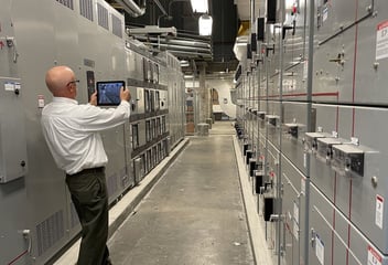
Digital mapping transforms traditional blueprints and floor plans into interactive maps that display rooms, equipment, systems, zones, routes, and more. These maps can be easily updated and customized as needed via computer, laptop, tablet, and smartphone.
One of the most compelling features of digital maps is the ability to centralize critical facility information. Instead of relying on paper blueprints or outdated floor plans, K-12 administrators and staff can access comprehensive, interactive maps onsite and remotely. These maps can also be shared with local emergency responders for better communication and coordination throughout the district.
The Role of Grants in Obtaining Digital Mapping Software
While the benefits of digital mapping are clear, the cost of implementing these systems can be a challenge for many districts. However, federal and state grants designed specifically for school safety, technology upgrades, and infrastructure improvements are becoming more available. School districts can apply for these grants that assist in paying for the implementation and software subscriptions associated with digital mapping programs, including F1 MAPS.
Enhancing School Safety and Efficiency
Interactive digital maps can be vital tools for enhancing school safety. They allow first responders to quickly access accurate layouts of school facilities in case of an emergency, significantly improving response times. They can remotely access data, including room numbers, safe rooms, evacuation routes, and reunification zones.
Digital mapping software programs, like F1 MAPS, present an exciting opportunity for K-12 districts to enhance their facility management and safety. By leveraging grants; districts can implement these advanced tools without straining their budgets, ensuring their schools remain safe and efficient for years to come.